Top Secret Weather
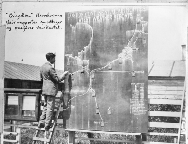
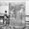
“Croydon” Aerodrome: weather reports are received and added to the weather chart
In both world wars, weather modeling became more important and much more difficult as the peacetime exchange of weather data stopped abruptly.
In the First World War, weather data was used to plan attacks and was particularly important with regard to the use of poison gas. Airplanes were used in the First World War not so much for fighting but for reconnaissance and gathering weather data. In the Second World War, in which planes played a much larger military role, weather information was even more central to planning military actions.
This was particularly the case during the massive Allied invasion of Normandy on June 6, 1944. While the Allied weather maps had predicted a temporary window of acceptable weather in which to invade, the German maps had shown it would be stormy all day, which meant they were not anticipating that the invasion would go ahead.
 Previous Story
Next Story
How to cite this page
Alexander Badenoch, 'Top Secret Weather', Inventing Europe, http://www.inventingeurope.eu/story/top-secret-weather
Sources
- Edwards, Paul N. A Vast Machine: Computer Models, Climate Data, and the Politics of Global Warming. The MIT Press, 2010.


