Warsaw
Description (English)
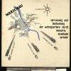
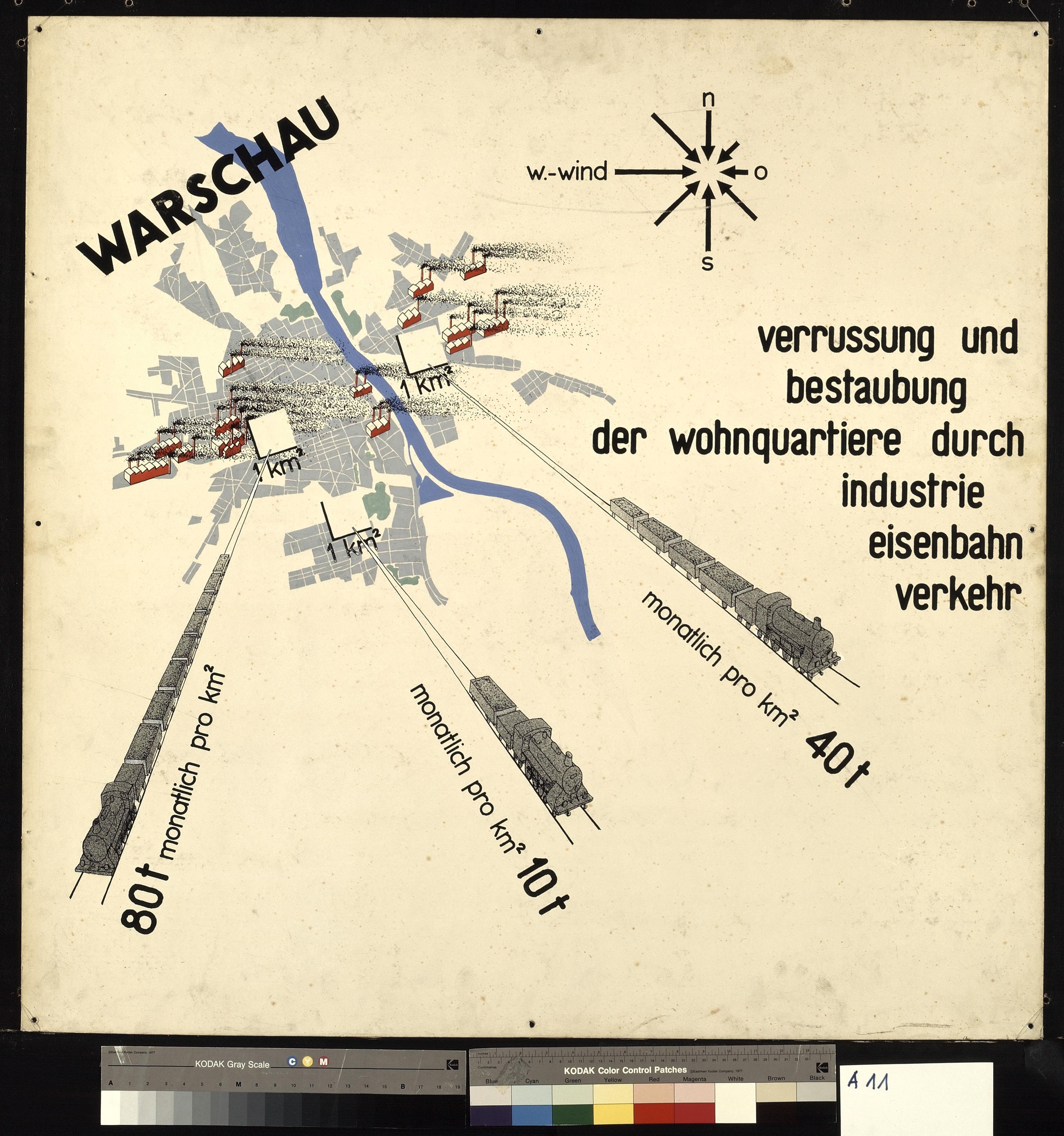
Map of Warsaw for CIAM IV congress 1933, GTA, ETH Zurich. This map visualizes the polution in Warsaw, Poland. The map was prepared for the CIAM IV congress in 1933, intended to compare more than 30, mostly European, cities.
The image belongs to the exhibition panels for the exhibition „Housing, Working, Traffic, Recreation in the Contemporary City“ which was held at the Stedelijk Museum, Amsterdam from june 1-23 1935. it was made by the Swiss CIAM group together with Wilhelm Hess.
On this page we provide metadata using the Dublin Core metadata format. The metadata is derived in most cases from metadata found in the source collection; in some cases we have added additional information where it was not available.


